Code source
Code from https://github.com/AbdoulMa/30DayMapChallenge/tree/main/Day8
Code to download the data
Code
library(osmdata)
library(sf)
library(tidyverse)

bbx <- getbb(paste0("Winthrop", ",", "Washington"))
# Get motorway, trunk, primary, secondary, tertiary ways ----
highways <- bbx %>%
  opq() %>%
  add_osm_feature(
    key = "highway",
    value = c(
      "motorway",
      "trunk",
      "primary",
      "secondary",
      "tertiary",
      "motorway_link",
      "trunk_link",
      "primary_link",
      "secondary_link",
      "tertiary_link"
    )
  ) %>%
  osmdata_sf()

# Get small streets, pedestrian paths, living streets ----
streets <- bbx %>%
  opq() %>%
  add_osm_feature(
    key = "highway",
    value = c(
      "residential",
      "living_street",
      "service",
      "unclassified",
      "pedestrian",
      "footway",
      "track",
      "path"
    )
  ) %>%
  osmdata_sf()

# Get landuse ----
landuse <- opq(bbx) |>
  add_osm_feature(key = "landuse") |>
  osmdata_sf() |>
  unname_osmdata_sf()

# Get buildings ----
buildings <- opq(bbx) |>
  add_osm_feature(key = "building") %>%
  osmdata_sf() |>
  unname_osmdata_sf()

# Center and circle ----
city_coords <- tibble(address = "Winthrop, Washington") |>
  tidygeocoder::geocode(address, method = 'osm', long = long, lat = lat)

long <- city_coords$long[1]
lat <- city_coords$lat[1]

crs2 <- 6384 # https://epsg.io/6384
center_proj <-
  tibble(long, lat) %>%
  st_as_sf(coords = c("long", "lat"), crs = 4326)

# circle to crop in ----
dist <-  3500
circle <- tibble(long, lat) %>%
  st_as_sf(coords = c("long", "lat"), crs = 4326) %>%
  st_transform(crs = crs2) %>%
  st_buffer(dist = dist) %>%
  st_transform(crs = 4326)

streets_lines <- st_intersection(circle, streets$osm_lines)
highways_lines <- st_intersection(circle, highways$osm_lines)
buildings_polygons <- st_intersection(circle, buildings$osm_polygons)
landuse_polygons <- st_intersection(circle, landuse$osm_polygons)
Plot code
Code
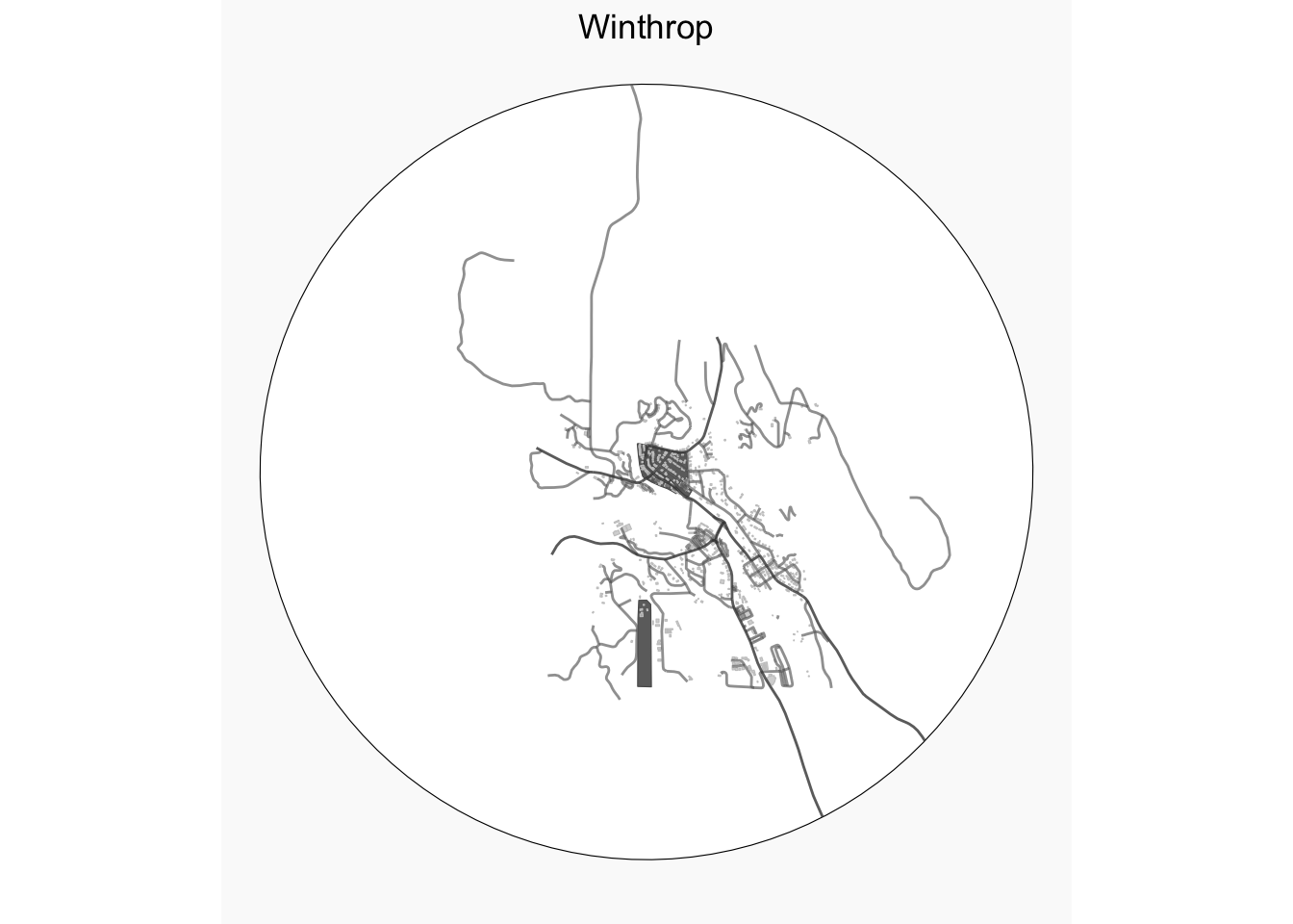
ggplot() +
  geom_sf(data = circle, color = "black", fill =  "white") +
  geom_sf(
    data = landuse_polygons,
    fill = "#646464",
    size = .05,
    alpha = .95
  ) +
  geom_sf(
    data = buildings_polygons,
    size = .05,
    fill = "#c8c8c8",
    color = "#c8c8c8",
    alpha = .75
  ) +
  geom_sf(
    data = streets_lines,
    col = "grey40",
    size = .4,
    alpha = .65
  ) +
  geom_sf(
    data = highways_lines,
    col = "grey25",
    size = .6,
    alpha = .8
  ) +
  ggtitle("Winthrop") +
  theme_void() +
  theme(
    plot.title = element_text(hjust = 0.5),
    plot.background = element_rect(fill = "grey98", color = NA),
    plot.margin = margin(b = 10)
    )